Rare Earth Mineral Exploration - From Target to Resource
Planet Insights integrates remote sensing, geophysics, geochemistry, property mathematical modeling, and AI-assisted targeting to reduce exploration uncertainty, shorten discovery cycles, and optimize drilling program performance.
Exploration with Precision and Confidence
Exploration success demands more than maps and hunches. Planet Insights integrates remote sensing, geophysics, geochemistry, and AI-assisted modeling to pinpoint high-probability targets, structure efficient drilling programs, and deliver defensible mineral resource assessments. The result: lower risk, faster timelines, and better capital efficiency.
How We Deliver
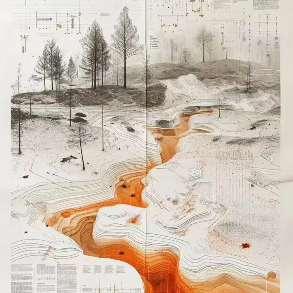
Prospectivity Mapping
Integrates geology, structure, alteration, and geophysics to rank and prioritize mineral exploration targets.
Geophysical Surveys
Magnetics, gravity, EM, and IP surveys for subsurface contrast analysis and 3D targeting.
Drilling Strategy & Supervision
Drill planning, HSE oversight, core logging, sampling protocols, and complete assay management.
ESG, Water & Land Baselines
Hydrology and land-use baselines supporting approvals, compliance, and long-term social license.
Remote Sensing
Multispectral, hyperspectral, and SAR data mapping alteration, lithology, and structural features.
Geochemistry
Soil/stream sediment/rock sampling with robust QA/QC; anomaly vectors that refine targets for trenching.
Resource Assessment
Grade analysis, variography, estimation models, and reporting aligned with industry standards.
Management & Reporting
Project budgets, timelines, permitting coordination, and board-ready stakeholder reporting.
Our Workflow
Discover
Compile datasets, build a prospectivity model, and shortlist targets.
Evaluate
Survey & sample; integrate geophysics, geochem, spectral indicators.
Prove
Design & supervise drilling; validate model against intercepts; iterate.
Report
Resource assessment, uncertainty analysis, and investment-grade documentation.
Industries We Serve
Tailored solutions for critical sectors shaping our future.
Oil & Gas Companies
Supporting exploration and production with data-driven insights that reduce risk and improve efficiency.
Mining Corporations
Enabling accurate identification of raw mineral resources to power industrial growth and innovation.
Disaster Management
Delivering flood management and structural safety platforms that strengthen preparedness and resilience.
Infrastructure & Civil Engineering Firms
Enhancing project reliability through seepage mitigation, geotechnical analysis, and structural risk.
Environmental & Water Resources
Creating water-positive ecosystems with sustainable subsurface and resource management strategies.
Why Choose Planet Insights
Risk Down, Success Up
Achieving higher target quality before the first meter is drilled.
Capital Discipline
Right-size programs; fewer false positives; smarter holes.
Speed to Decision
AI-assisted screening compresses months into weeks.
Credible Reporting
Resource assessments your board and investors can trust.
High-Accuracy Exploration and Risk-Mitigation Solutions for a Resource-Secure Tomorrow
Frequently Asked Questions
We combine geoscience leadership with AI-assisted modeling and disciplined field QA/QC, giving you higher-quality targets, clearer drill decisions, and defensible resource assessments.
Yes. Our spectral analytics, geophysics integration, and geochemical vectors are tuned for REE systems, from initial screening to drill-ready targets.
Yes. We provide targeted services, including survey design, sampling, drilling supervision, data management, and mineral resource assessment, aligned with recognized industry standards.
By ranking targets with multidisciplinary evidence (remote sensing, geophysics, geochemistry, structural geology) and iterating models, so only the highest-confidence targets advance to drilling.
We integrate water and land baselines early and coordinate with our flood and structural teams to preempt environmental and infrastructure risks, accelerating approvals and community acceptance.